Brian Richardson
On this trip we are following a series of Adventure Cycling Association maps. That is, physical paper maps—not an app on a phone or bike computer. I chose to use these maps partly out of nostalgia (we used similar maps on my previous trips), but also because they are just excellent resources. They have turn-by-turn directions, elevation profiles, road and traffic conditions, services (food, water, camping, bike shops, etc.), and weather patterns. Even after all that, they dedicate about a third of their printed area to describing the ecology, geography, and history of the regions they cover.
Each map covers between 300 and 600 miles, or 4-7 days of riding. So a completed map is a milestone to be celebrated. The old map goes back in to my gallon-sized ziplock bag with the others, and we pull out the next one to see what’s in store for us in the week to come. Two days ago in Gillette, we cracked open a new map that will guide us 380 miles to Midland, SD. It detailed the geologic and cultural significance of the Black Hills and warned of 70-mile stretches with no services as well as frequent thunderstorms and tornadoes.
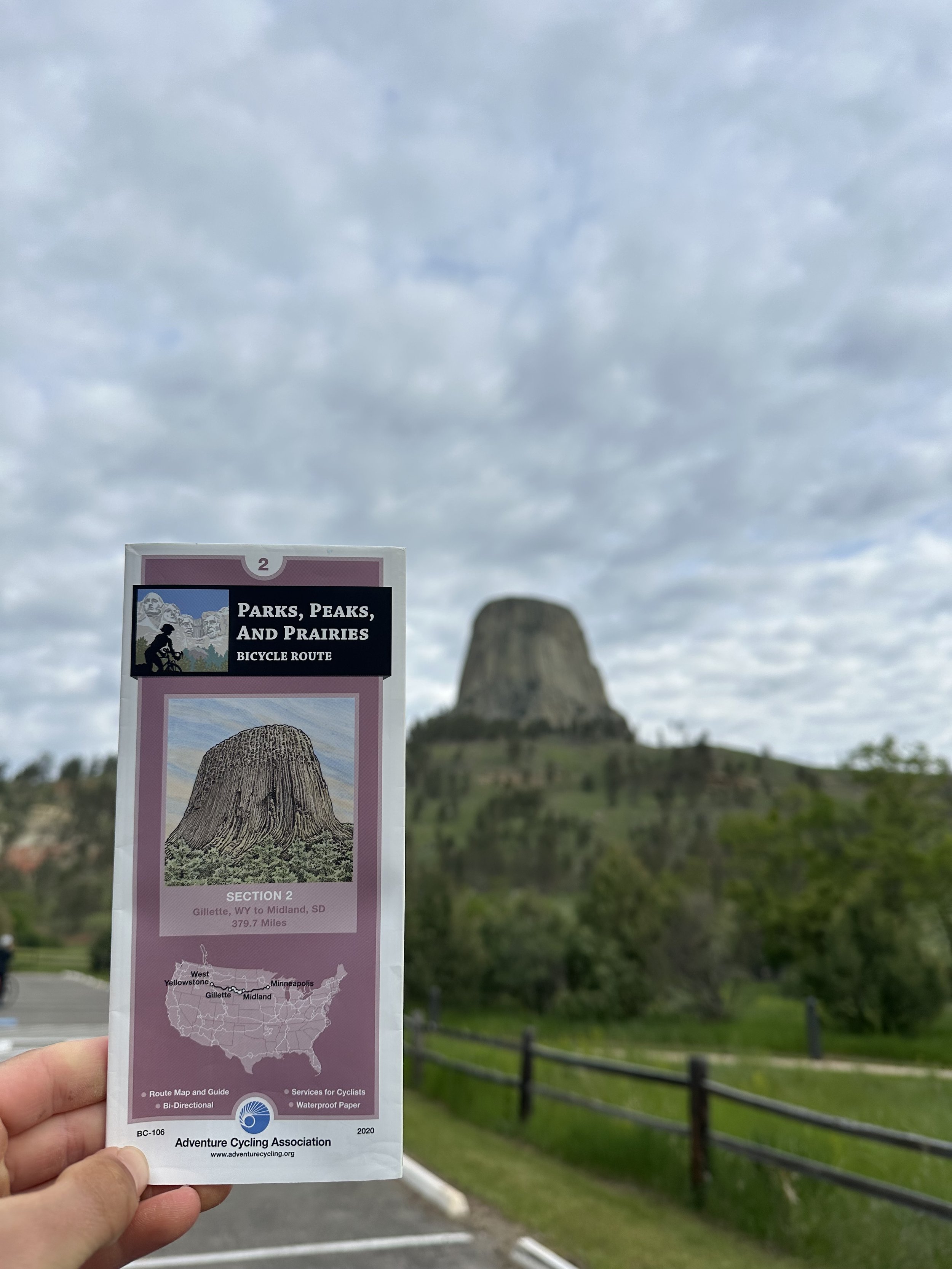
Map #2 of the Parks, Peaks, and Prairies Route
This morning, our map sent us along HW 24 away from Devils Tower and through the cute town of Hulett, WY where we stocked up on food for the day. By late morning, we saw warning signs of the thunderstorms the map had warned us about. We spent the next 2 hours weaving between storm cells and racing the larger system of dark clouds to shelter at the town of Beulah. Arriving just in time, we were able to enjoy a dry lunch under a tin roof as the storm passed over us.

The group races storm clouds to Beulah, WY

Lunch out of the rain in Beulah, WY
With the rain behind us, we continued on to Old Highway 14, which sidles up to Interstate 90. A few quiet miles on this road got us to the eastern border of Wyoming, where we were hoping to take a picture at a “Welcome to South Dakota” sign. Unfortunately, no such sign exists on Old HW 14. I guess someone figured the nearby large and colorful sign along I-90 was good enough. We briefly contemplated jumping a barbed wire fence and playing Frogger across interstate traffic to take a picture, but ultimately decided this was not worth the risk. At least most of us did…

Friend at the South Dakota Border
We’re spending our first night in our fifth state in Spearfish, SD, right on the edge of the Black Hills National Forest. Our first stop in town was to the local bike shop, Rushmore Bikes, for some important repairs. Michael added a pair of miniature aerobars to his Kona Sutra, and Usher had his persistently squeaky drive train professionally looked at. I was finally able to replace my headset bearings. Like a frog in a heated kettle I had fallen into a literal groove of riding on worn bearings over the last several thousand miles on this bike, and it feels much smoother with the new hardware.

Brian’s old headset bearings outside Rushmore Bikes in Spearfish, SD
We’ve been to a lot of bike shops so far, and while most of them have been great, Rushmore Bikes stands out as amazing. Both mechanics on duty set aside their current tasks to give us quick and thorough help. They asked several times if they could assist us in any other way, even offering to drive any parts or equipment we’d need to our campsite tonight. Maybe this is just our first taste of midwestern kindness, in which case I’m looking forward to the next several weeks!