Brian Richardson
We made it! 70 days, 4,840 miles, 182,200 feet of climbing, 21 flat tires, and $20,735 (and counting) raised for the Be Loud! Sophie Foundation. It all came to a conclusion in Bar Harbor this afternoon.
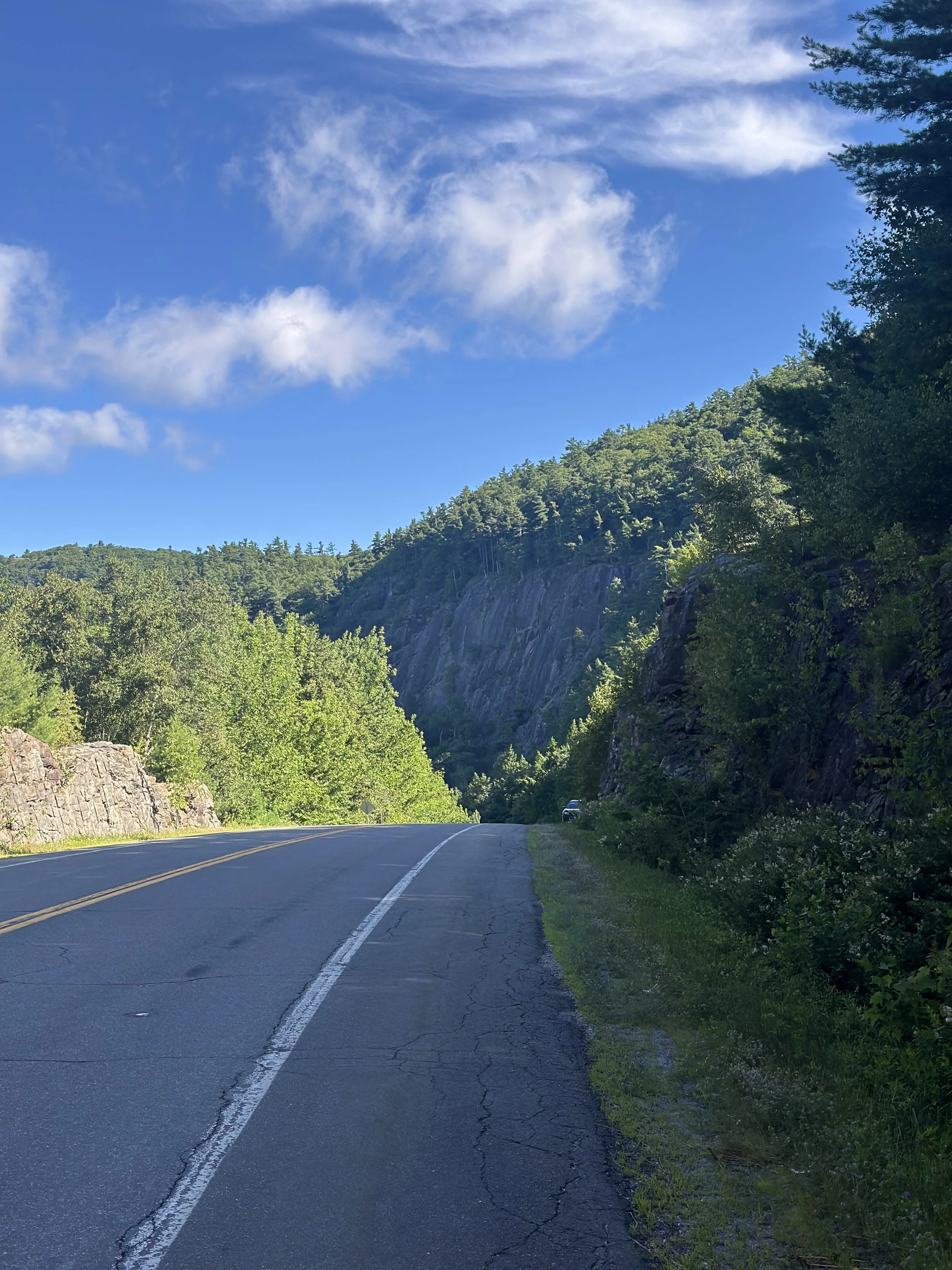
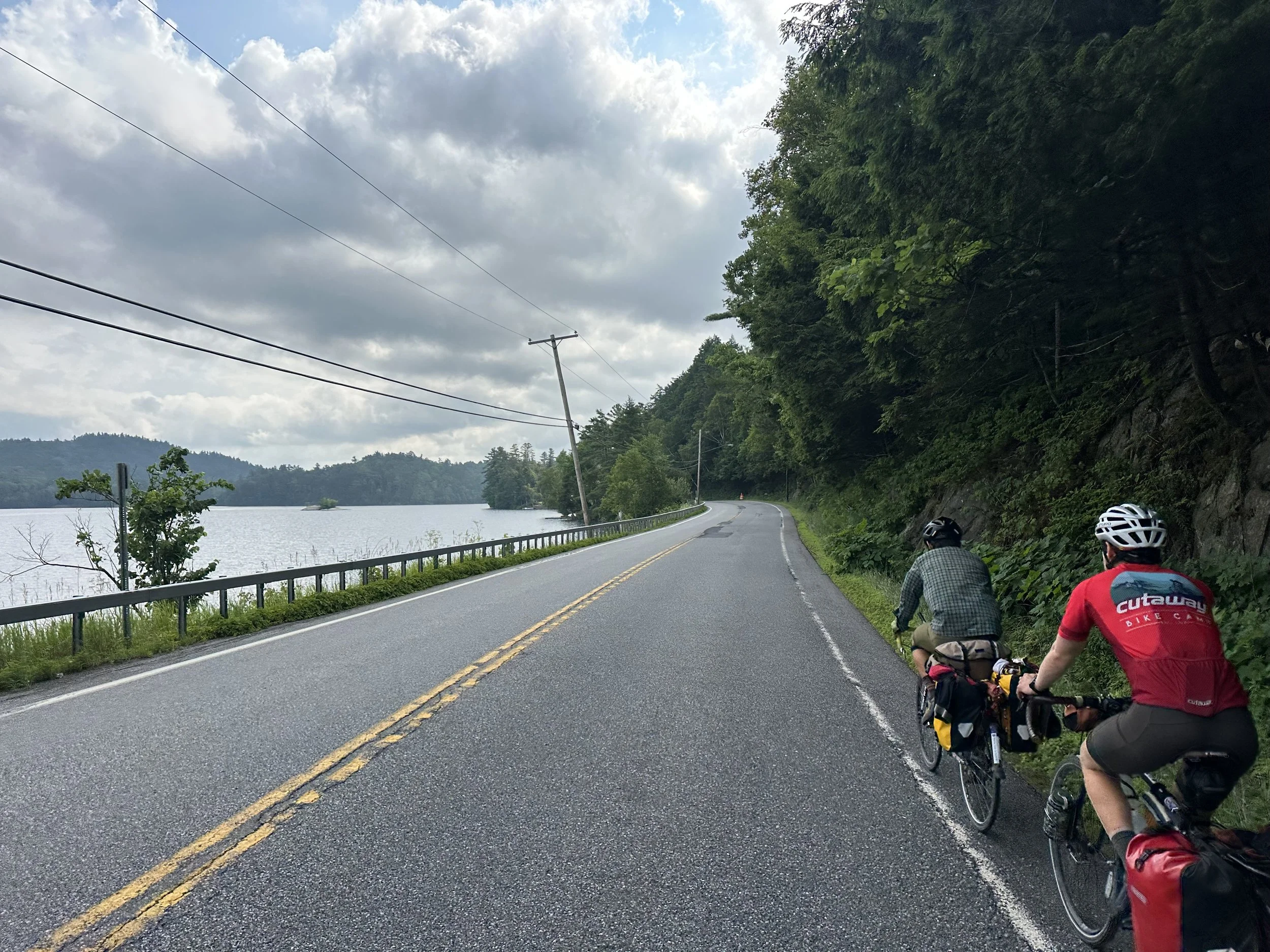
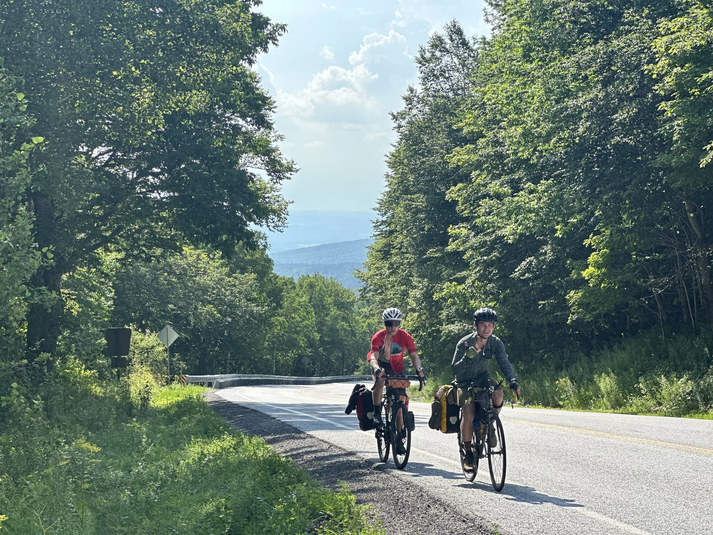
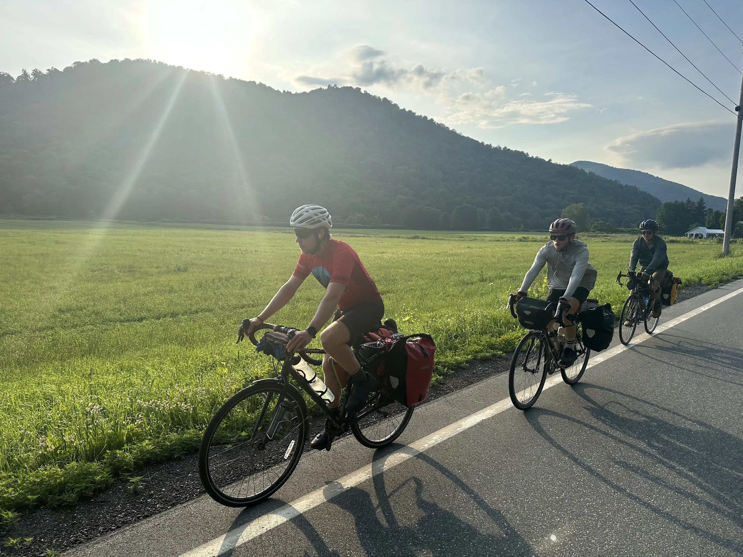
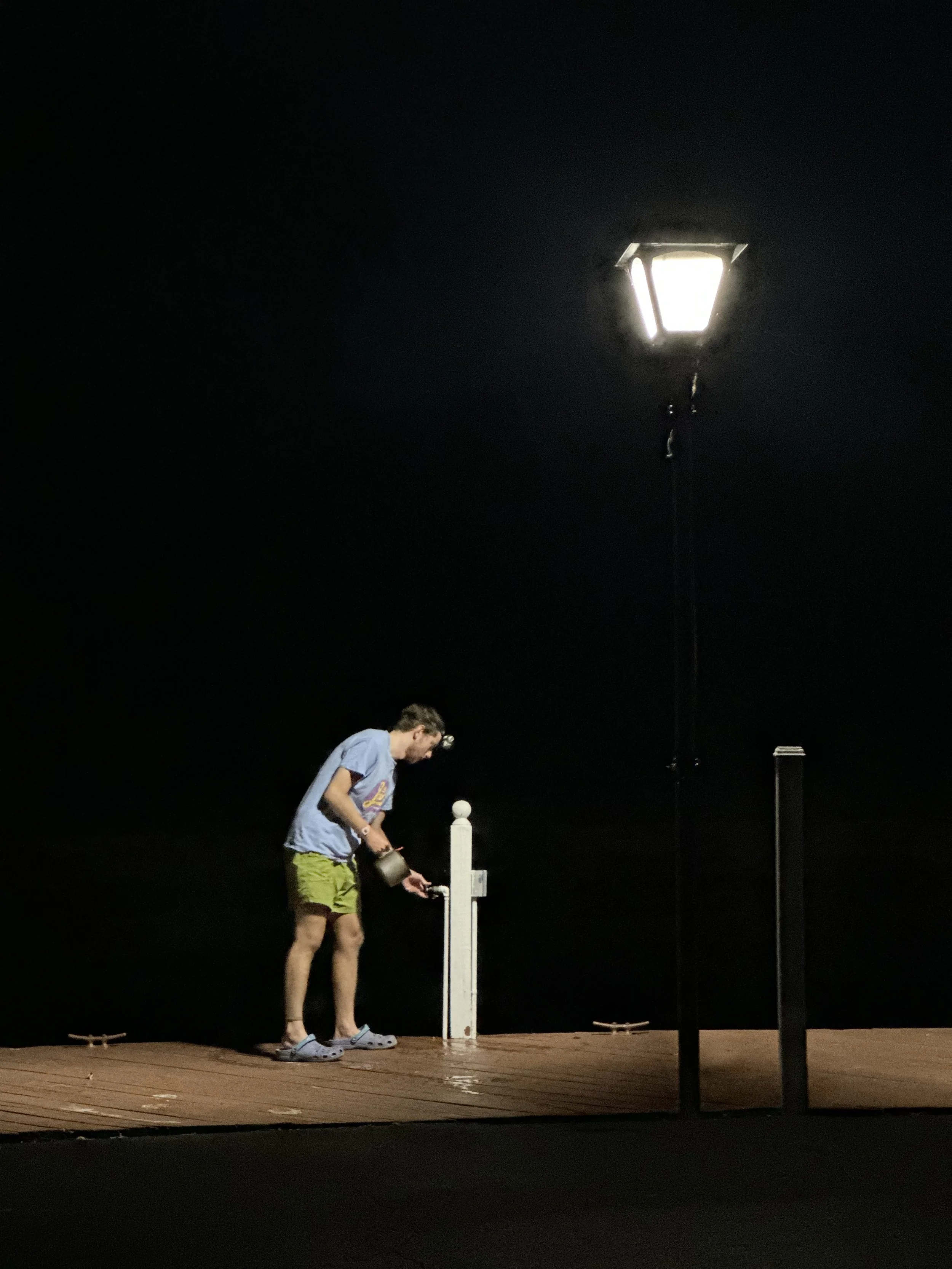
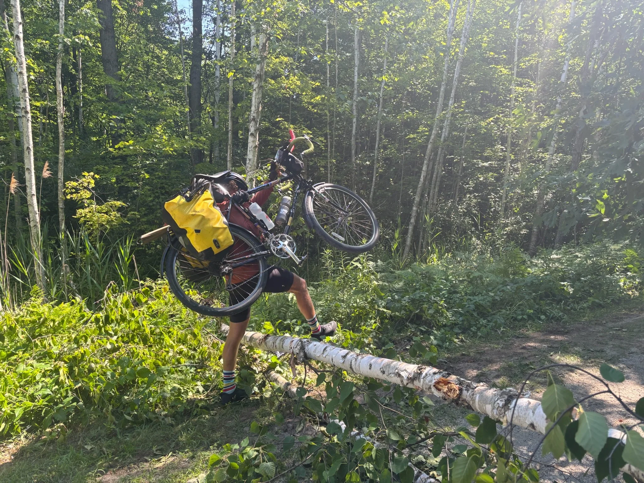
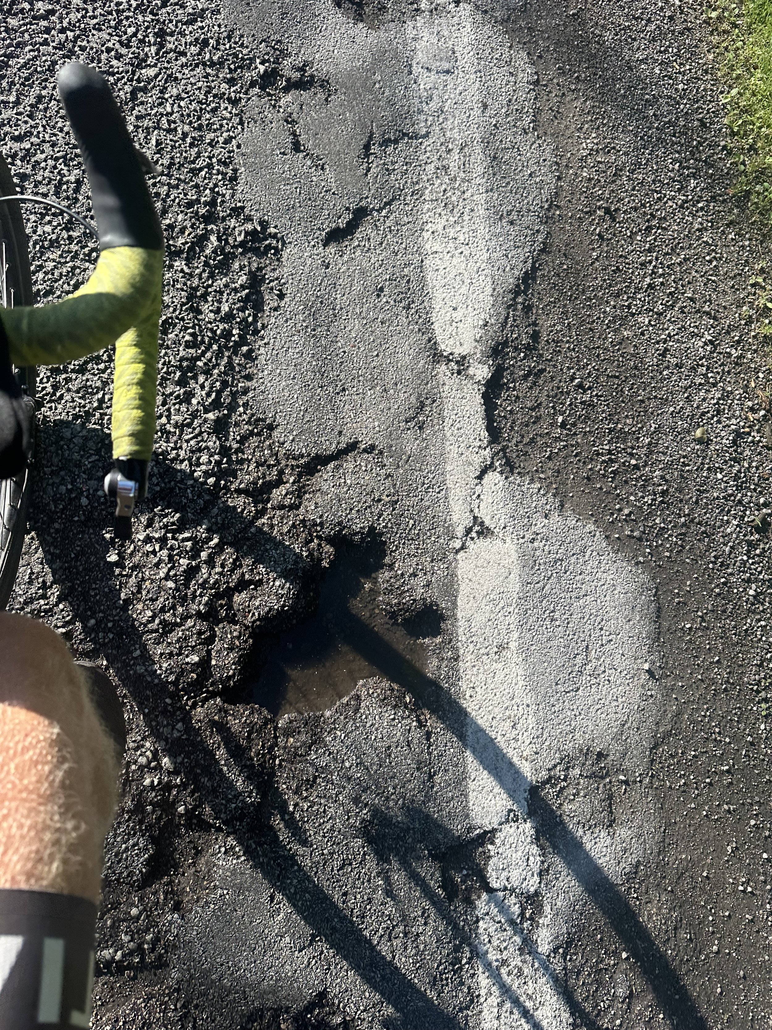
To make it there though, we still had to ride 30 arduous miles from Ellsworth to Mount Desert Island. HW 3 out of last night’s campground was the final test of our technical biking ability. To our left was an eternal and impatient slew of vacationing motorists. To our right, genetically modified biker-seeking pit bulls. And many sections of the road were more pothole than not, leaving little room to escape the cars and dogs.

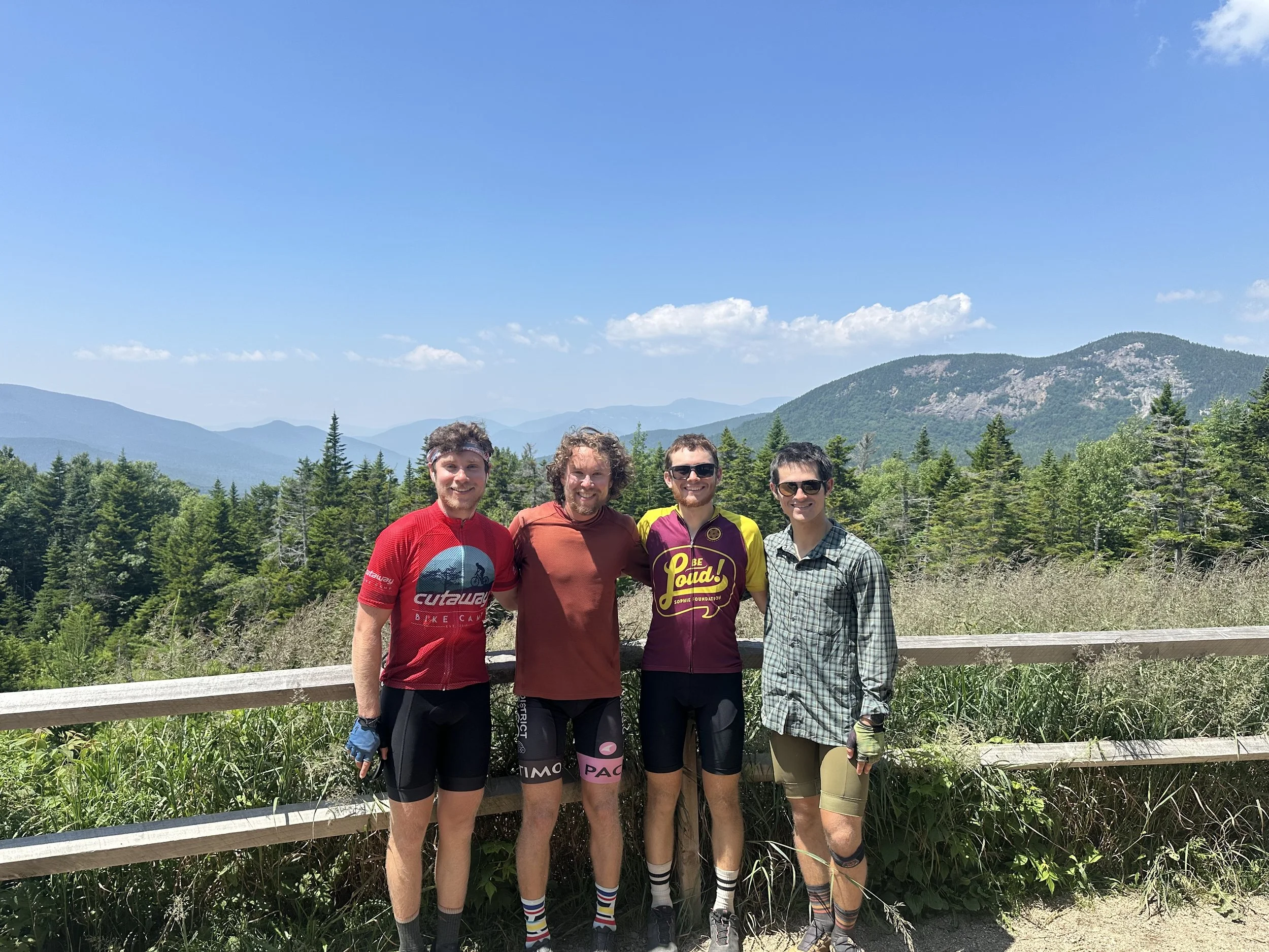
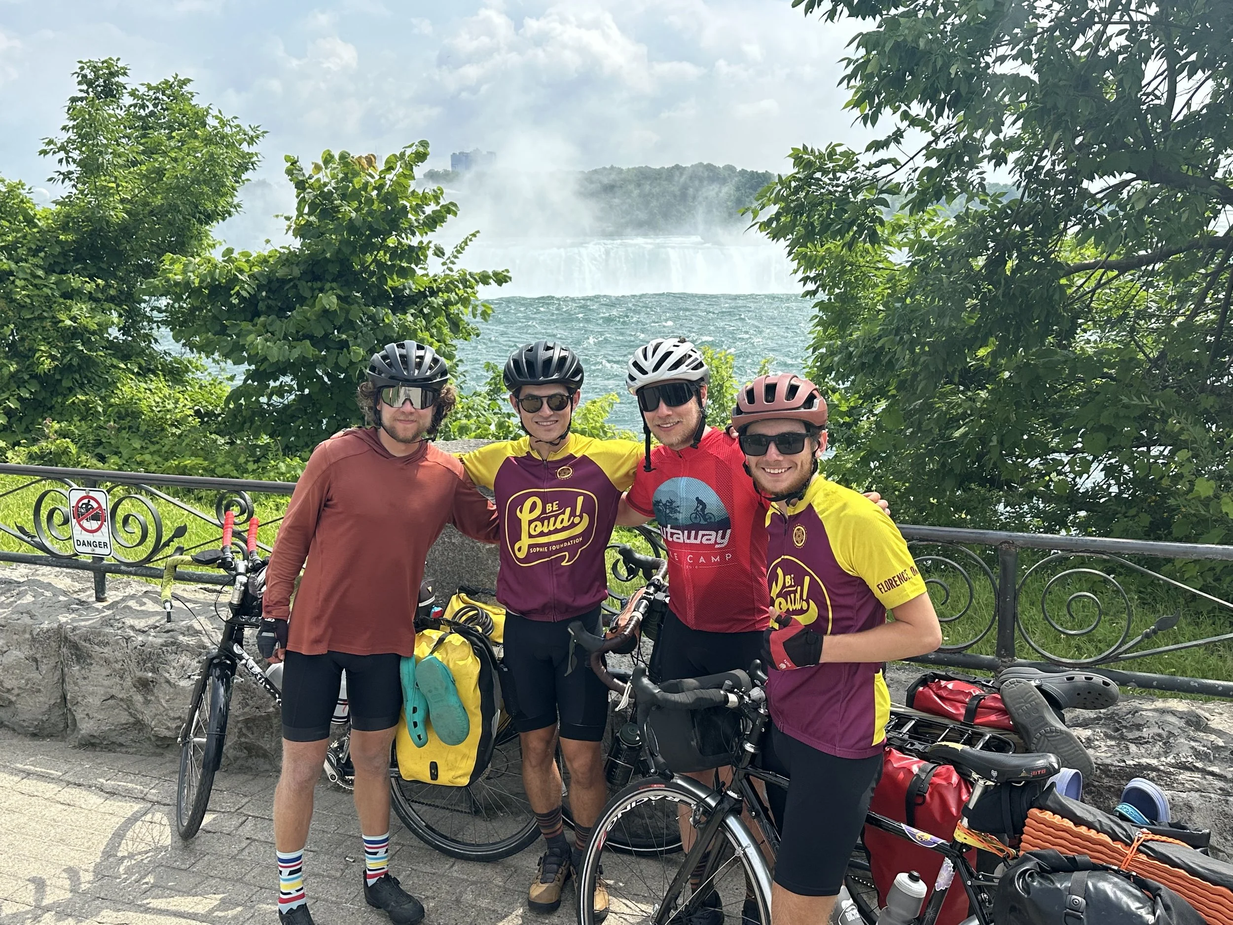
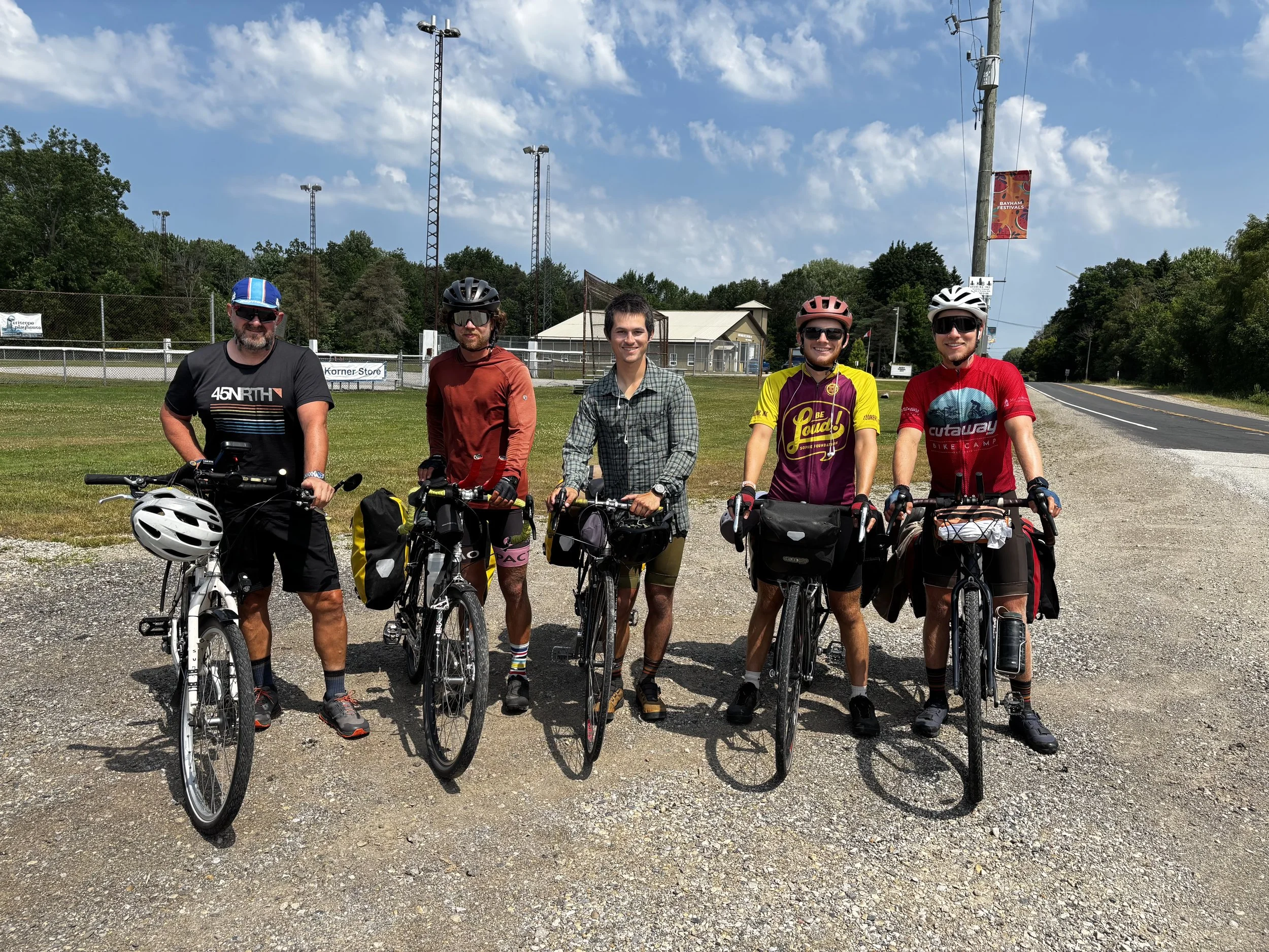
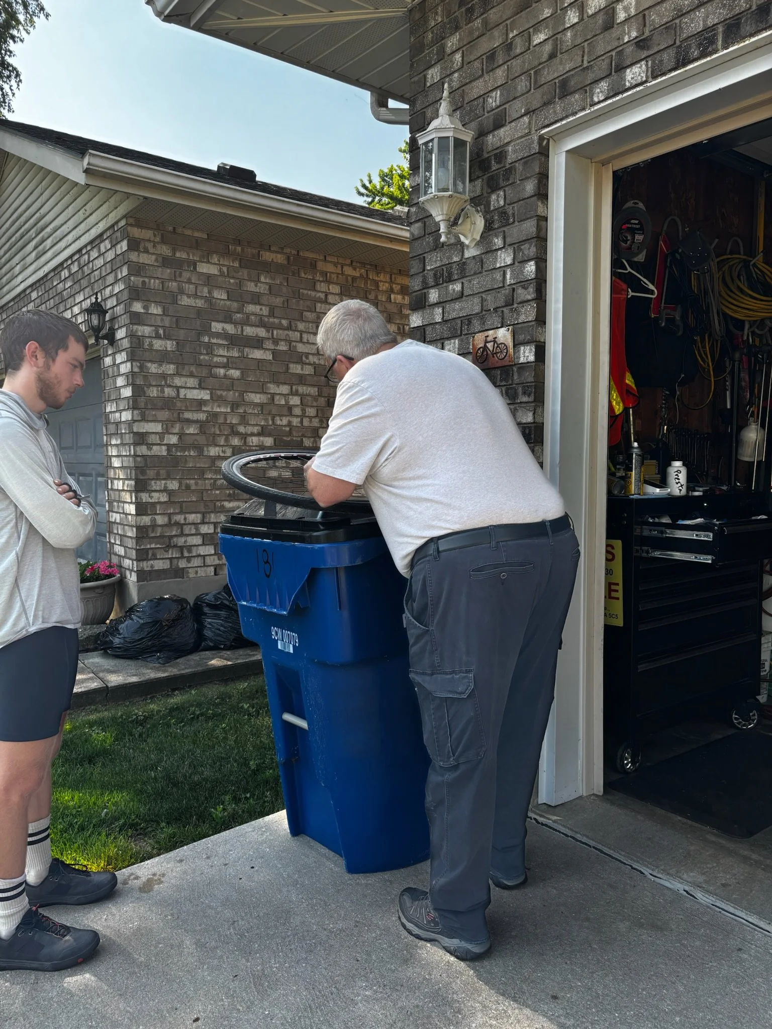
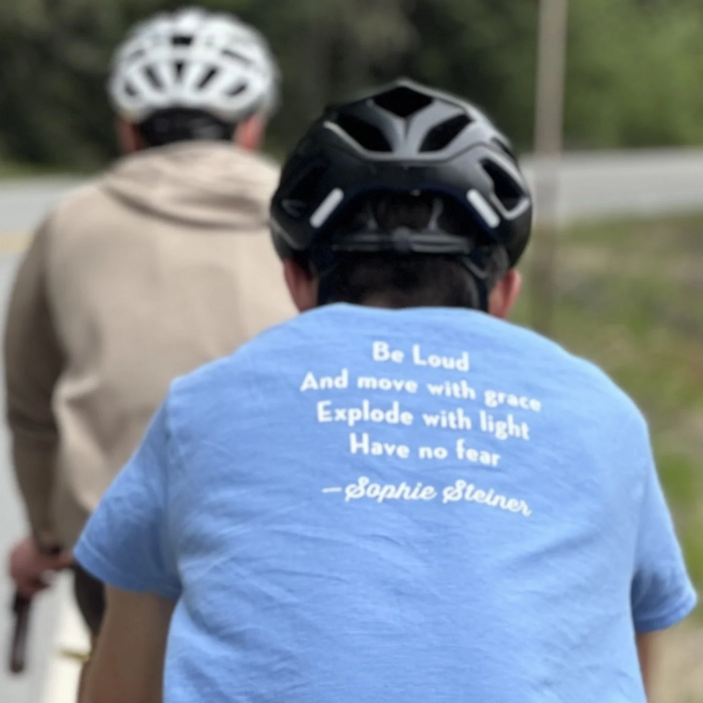
Friend and Michael prepare for the last push to Bar Harbor
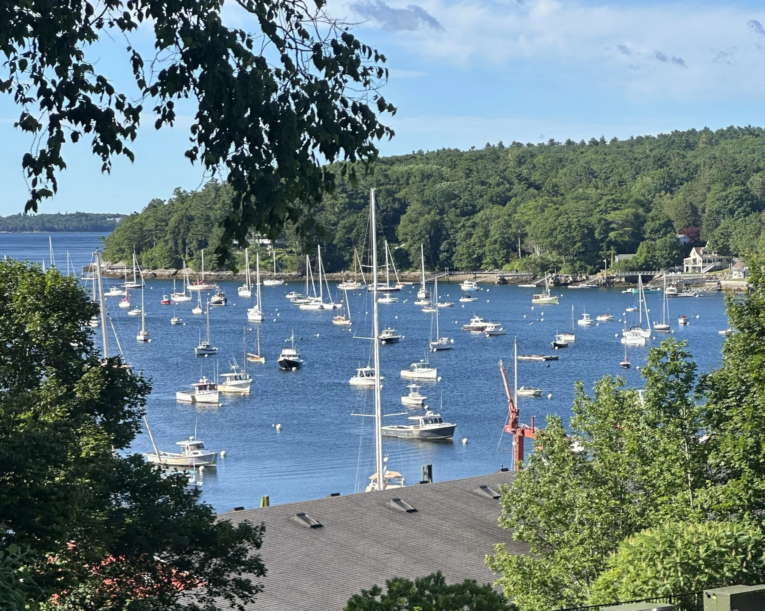
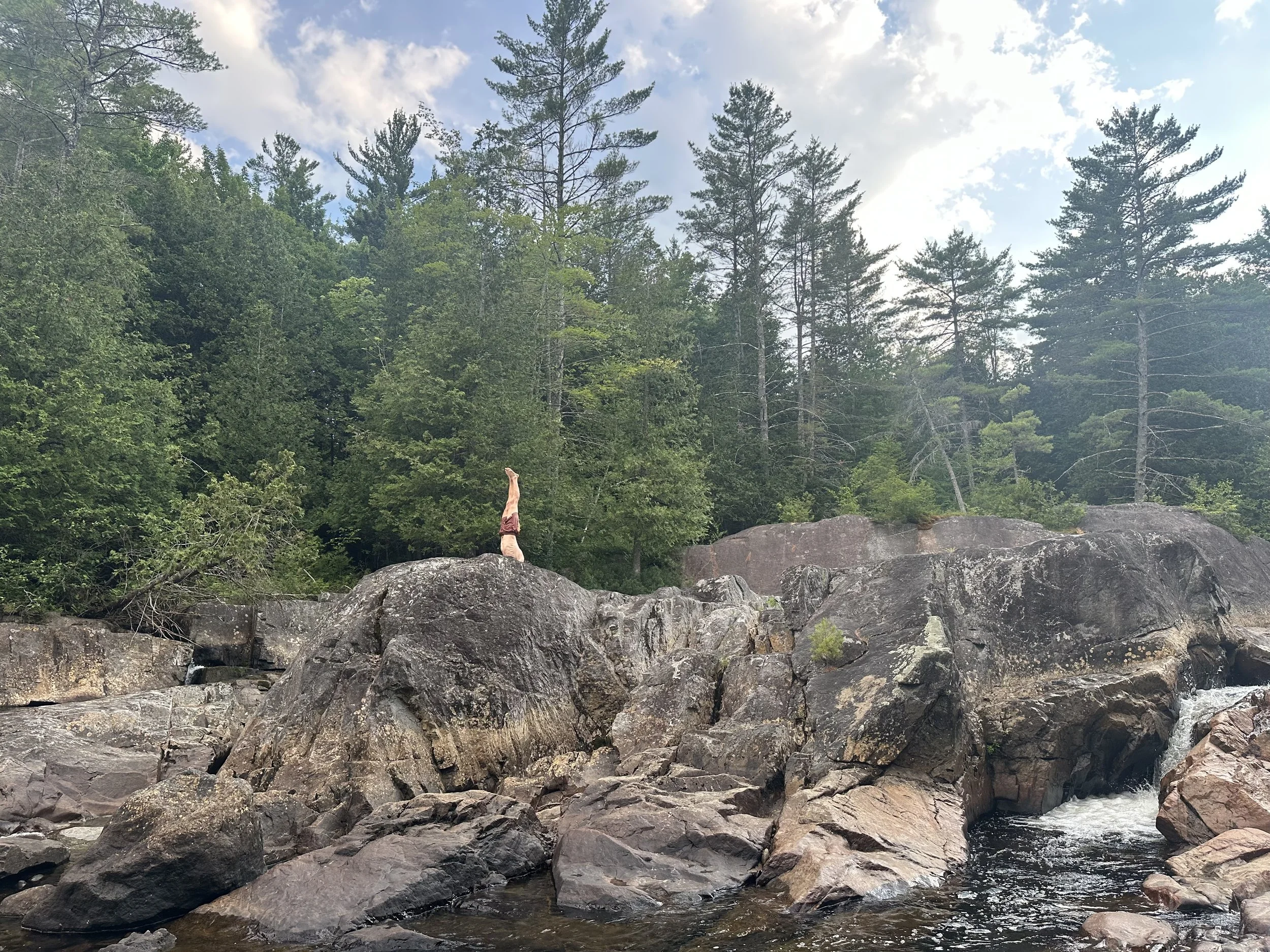
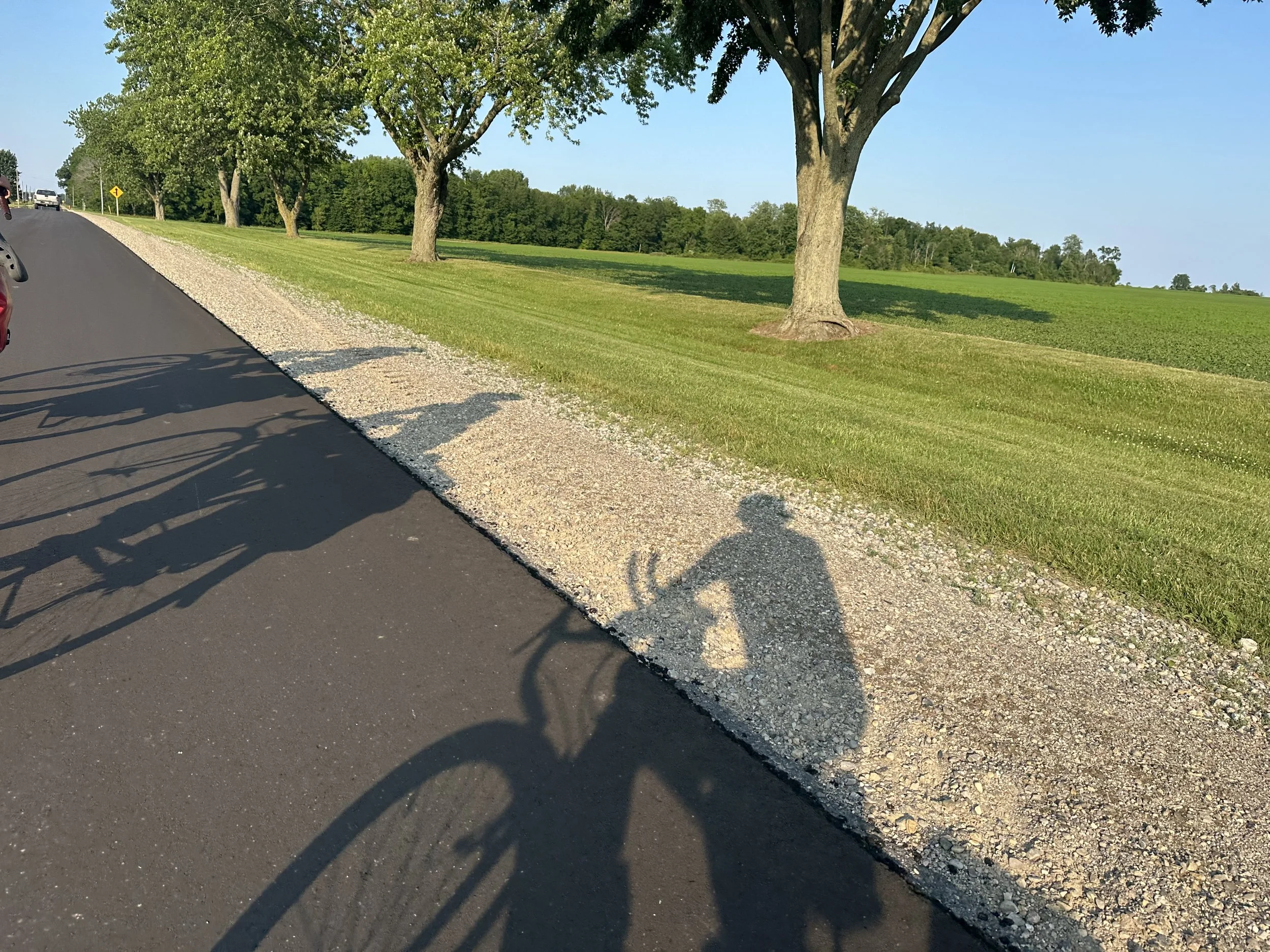
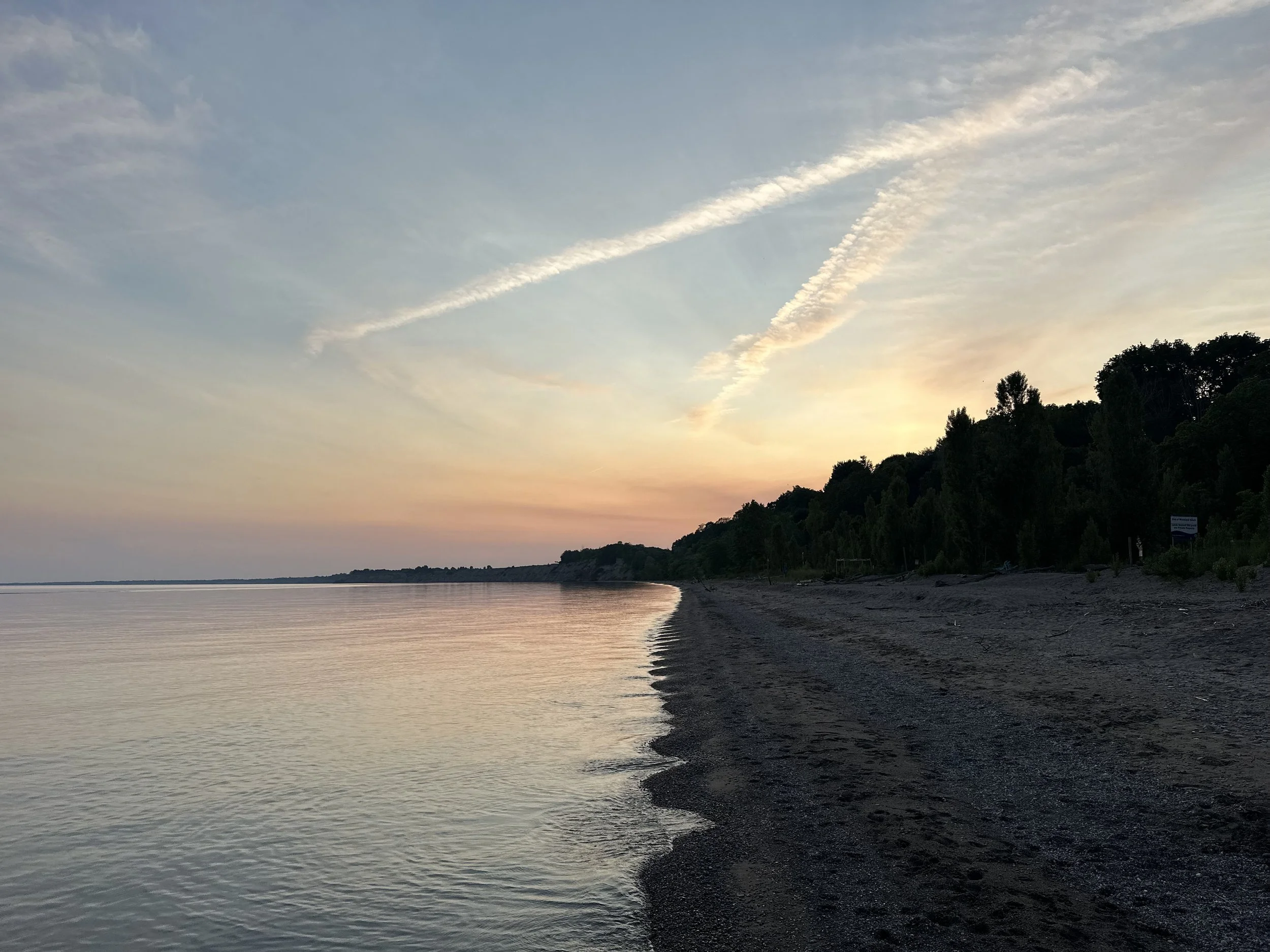
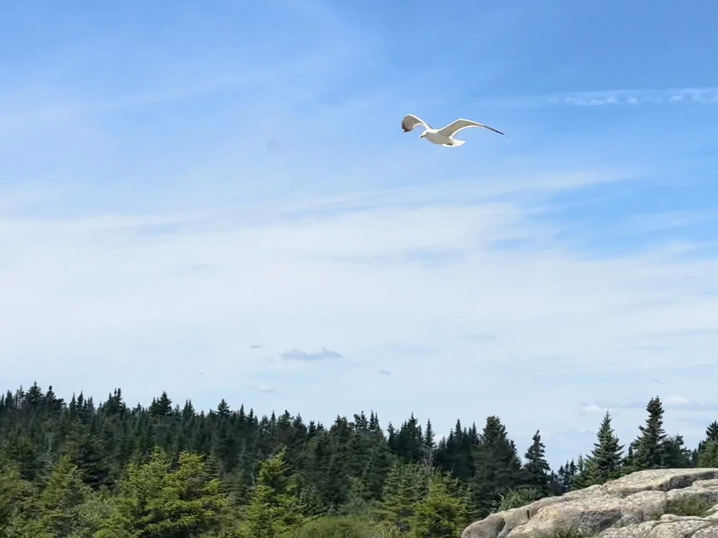
Once onto the island and into Acadia National Park, the traffic quieted down and the roads smoothed out. On the way to the ocean, we took a detour up Cadillac Mountain. At 1,530 ft, Cadillac is the highest point on the eastern seaboard. This combination of longitude and elevation makes it the first place in the continental US touched by the sunrise and a fitting destination for a bike ride that started on the west coast. On the summit, the four of us enjoyed our last moments of relative quiet before heading down to Sand Beach to meet our families.
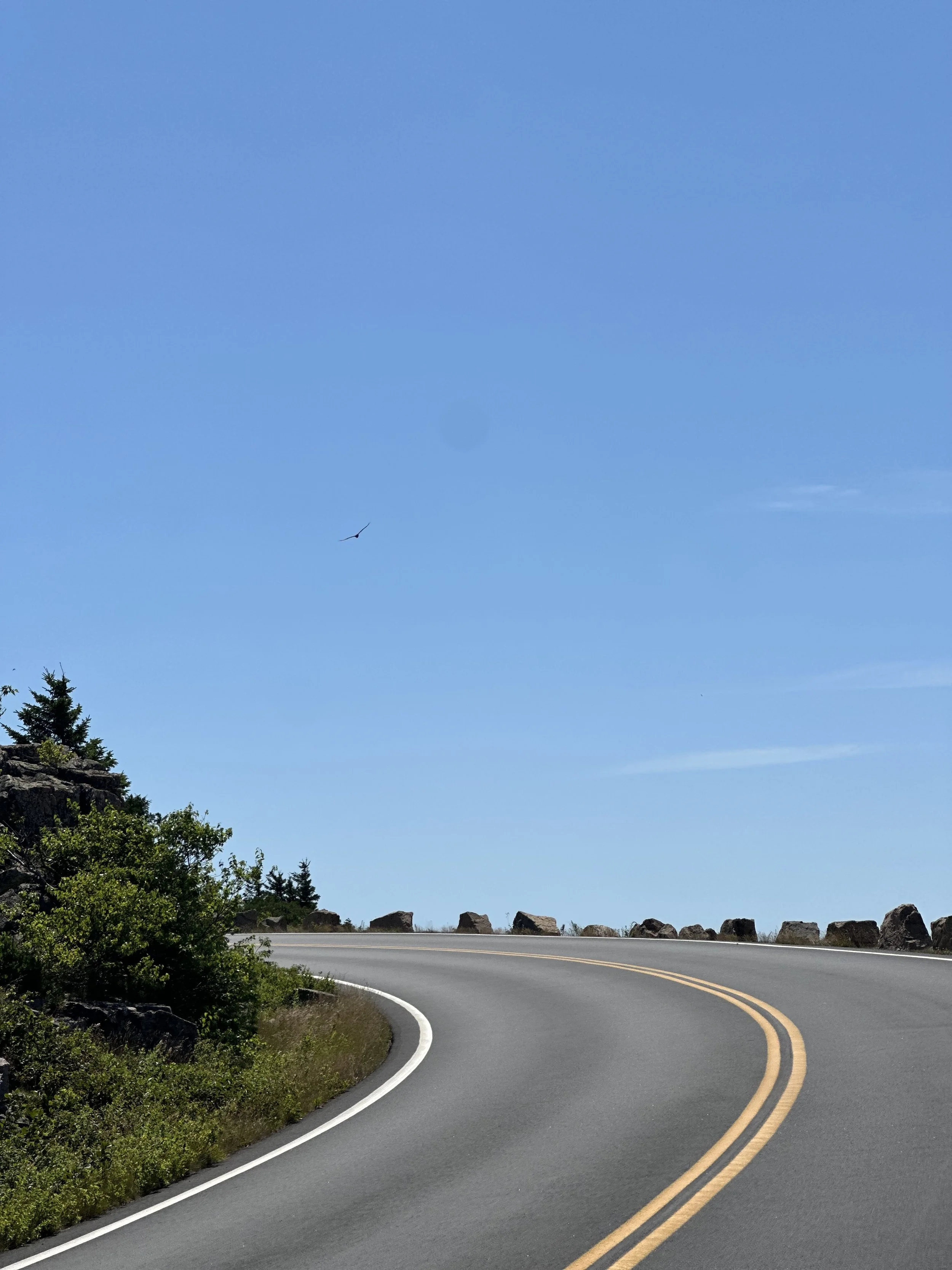

The climb and summit of Cadillac Mountain
Down at the beach, we were greeted by an entourage of friends and family members (twelve people + one cat). It was especially touching to see Niklaus and Lucy Steiner, Sophie’s parents and the founders of the Be Loud! Sophie Foundation, waiting for us. 💜
It was also very special to see my dad there, who we have to thank for the wonderful photos at Sand Beach!
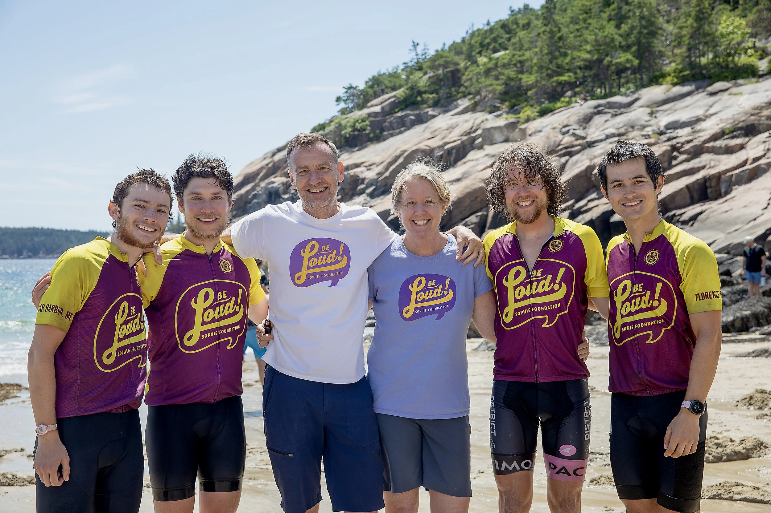
Niklaus and Lucy Steiner with the Bike Loud crew

The whole gang at Sand Beach
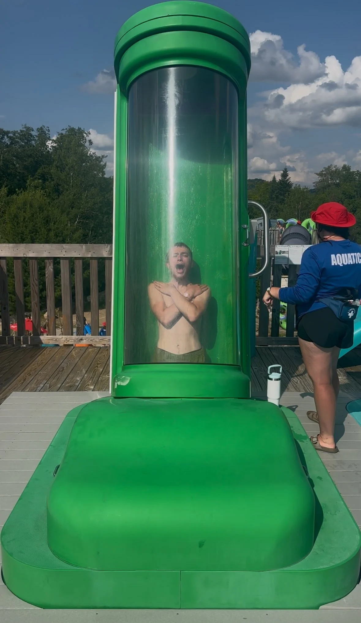
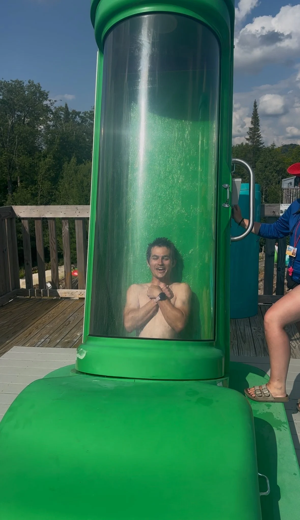
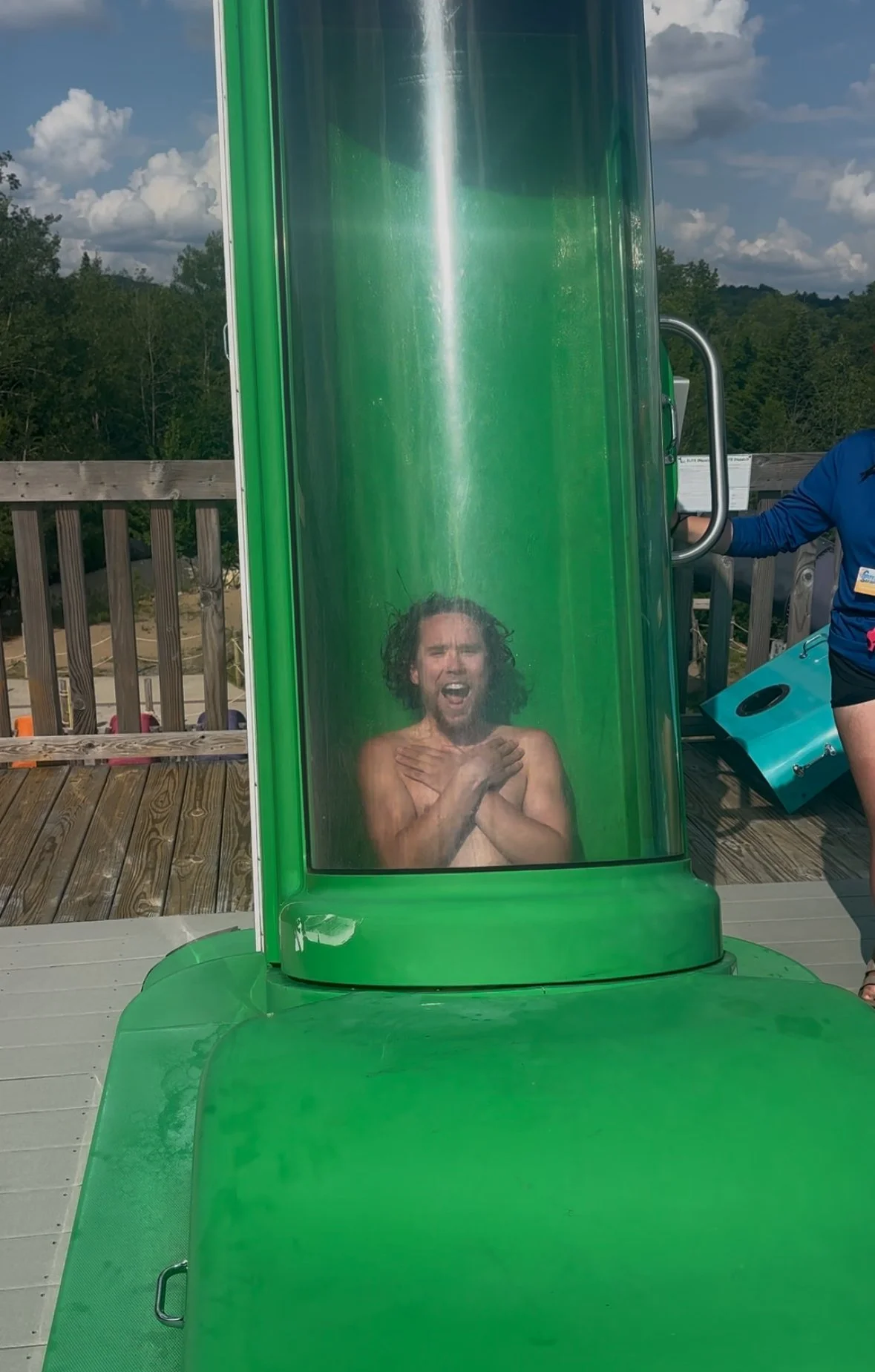
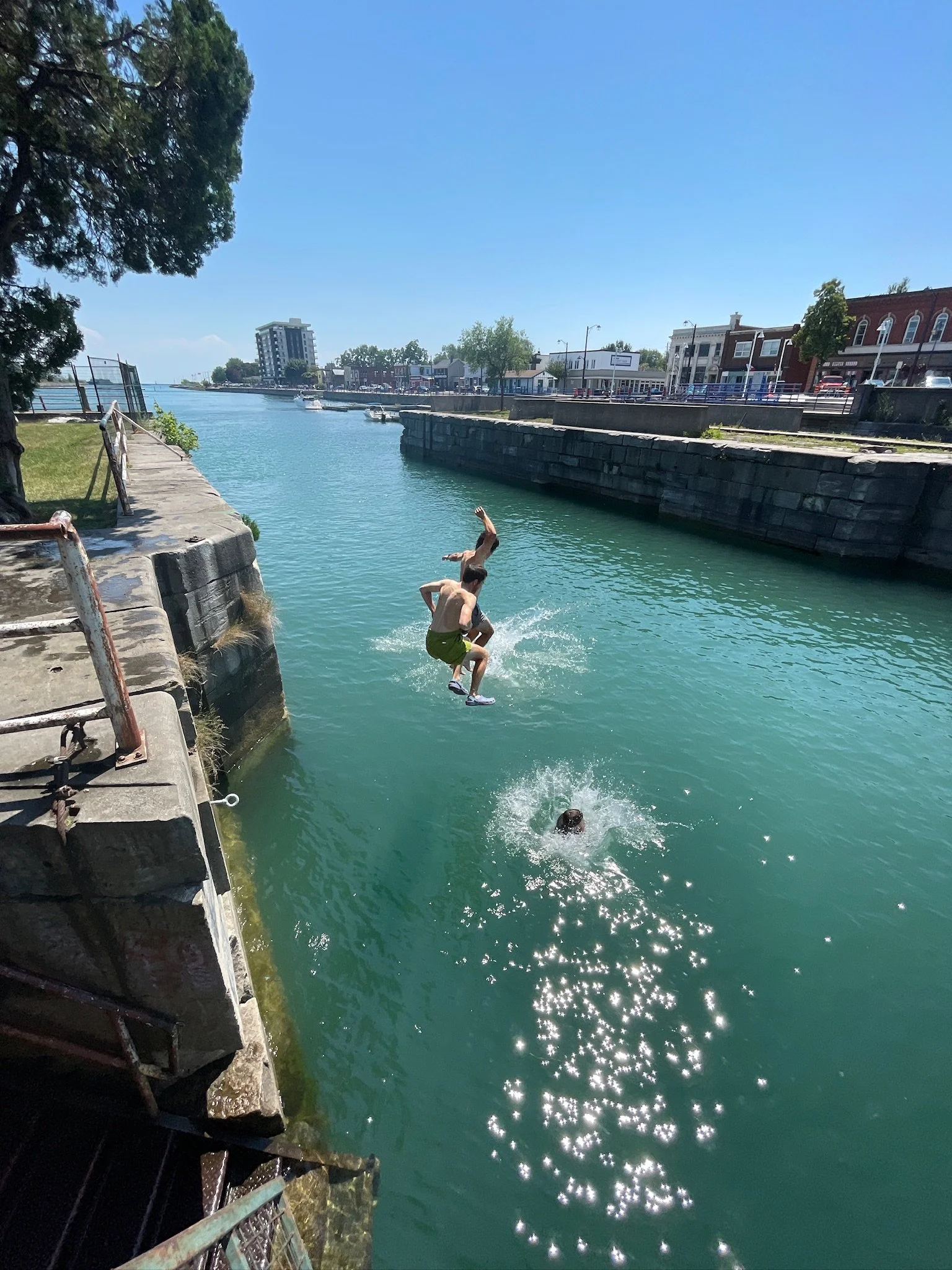
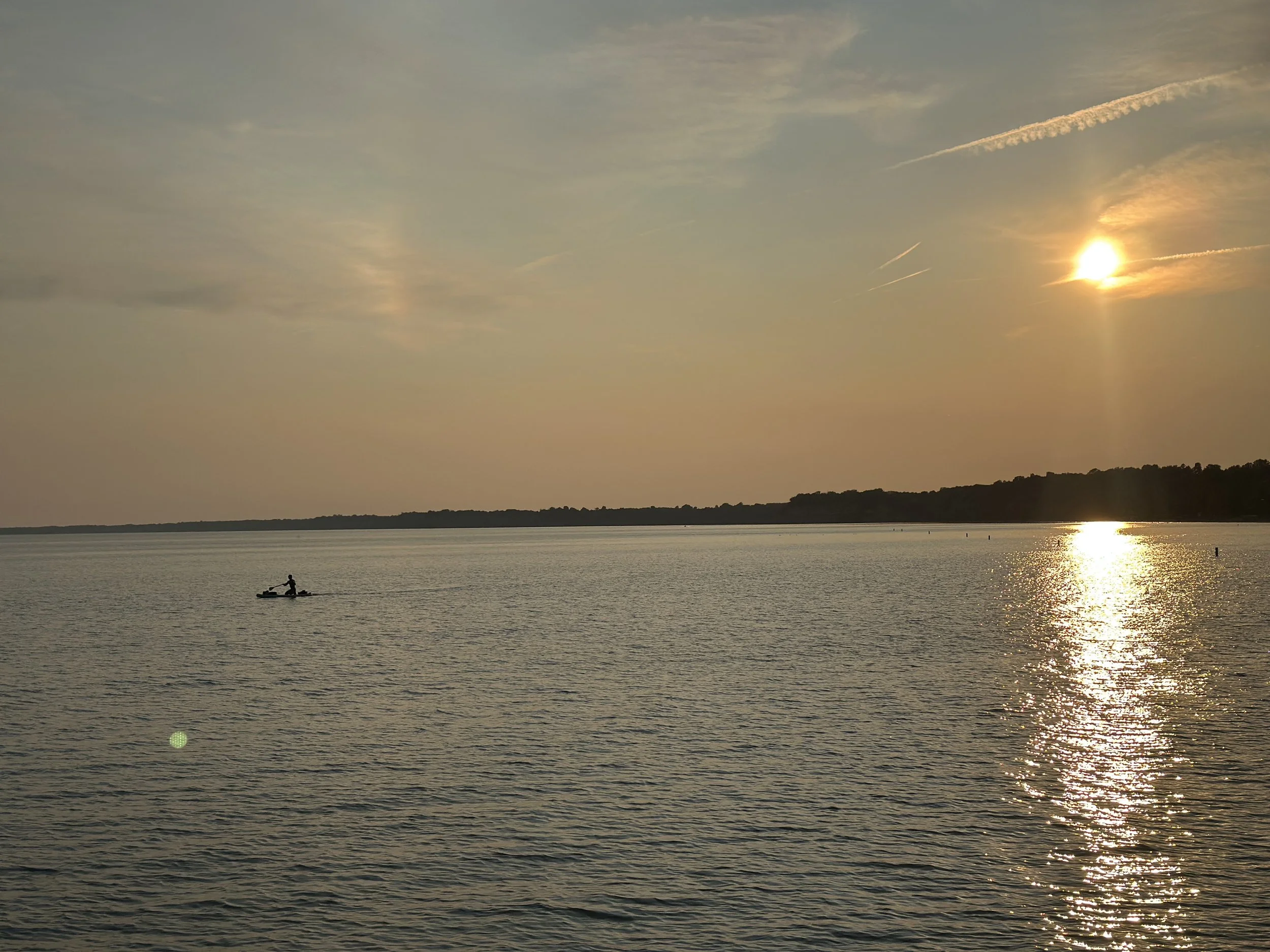
Shouldering the bikes through the sand and to the water was difficult, but nothing compared to the slog to the Pacific in Florence. We dipped our tires in the Newport Cove waves, stashed the bikes, and then took a dip ourselves.
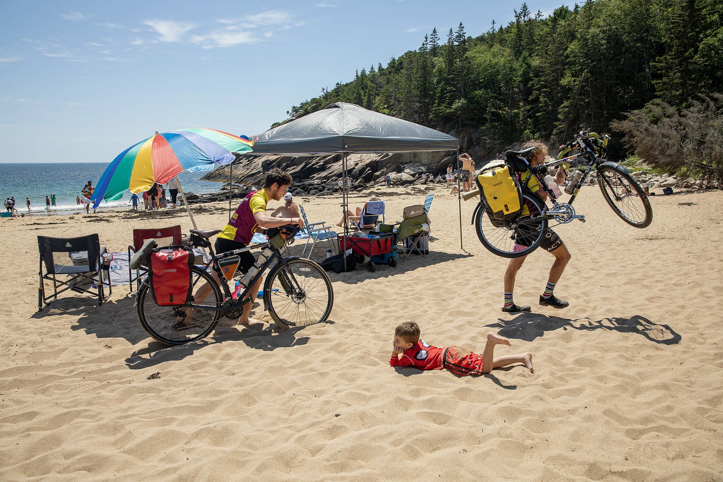
Michael and Brian haul their 75 lb bikes across the sand
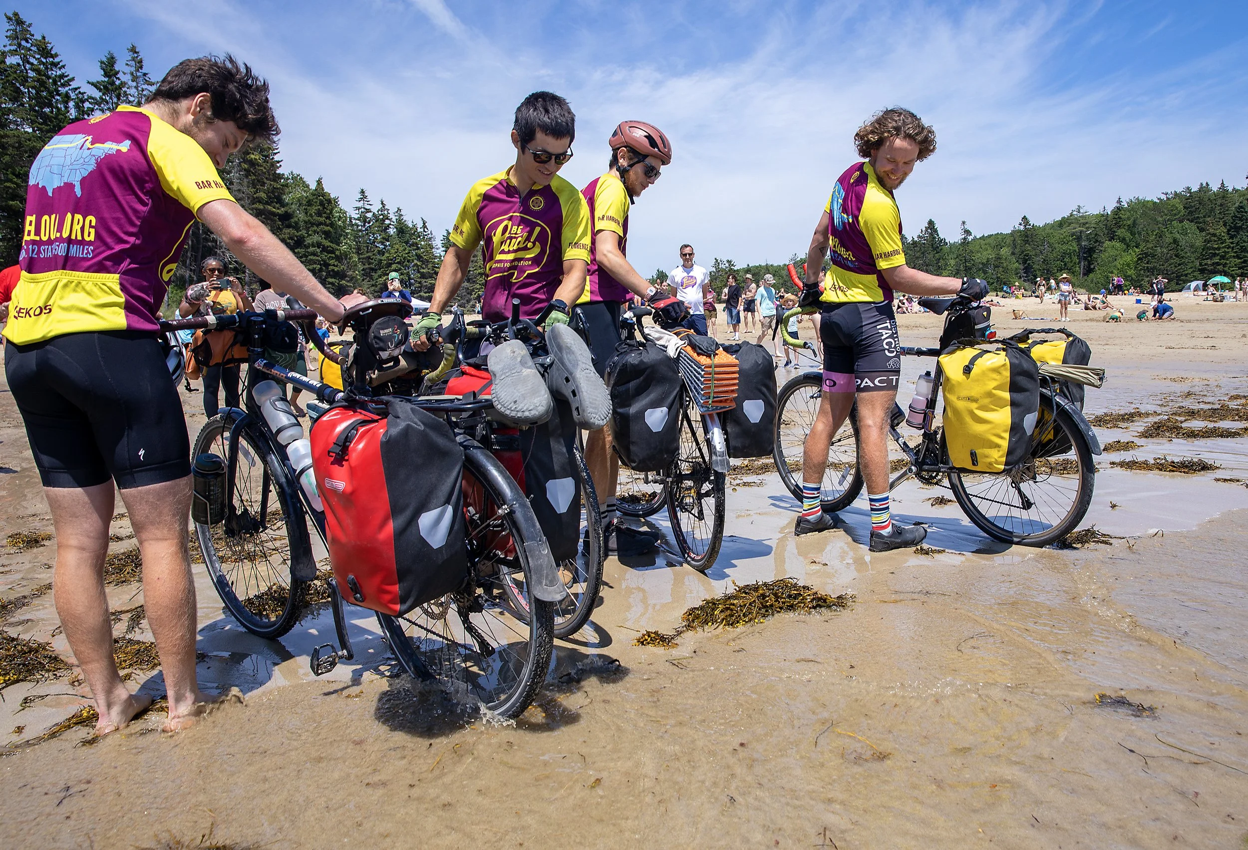
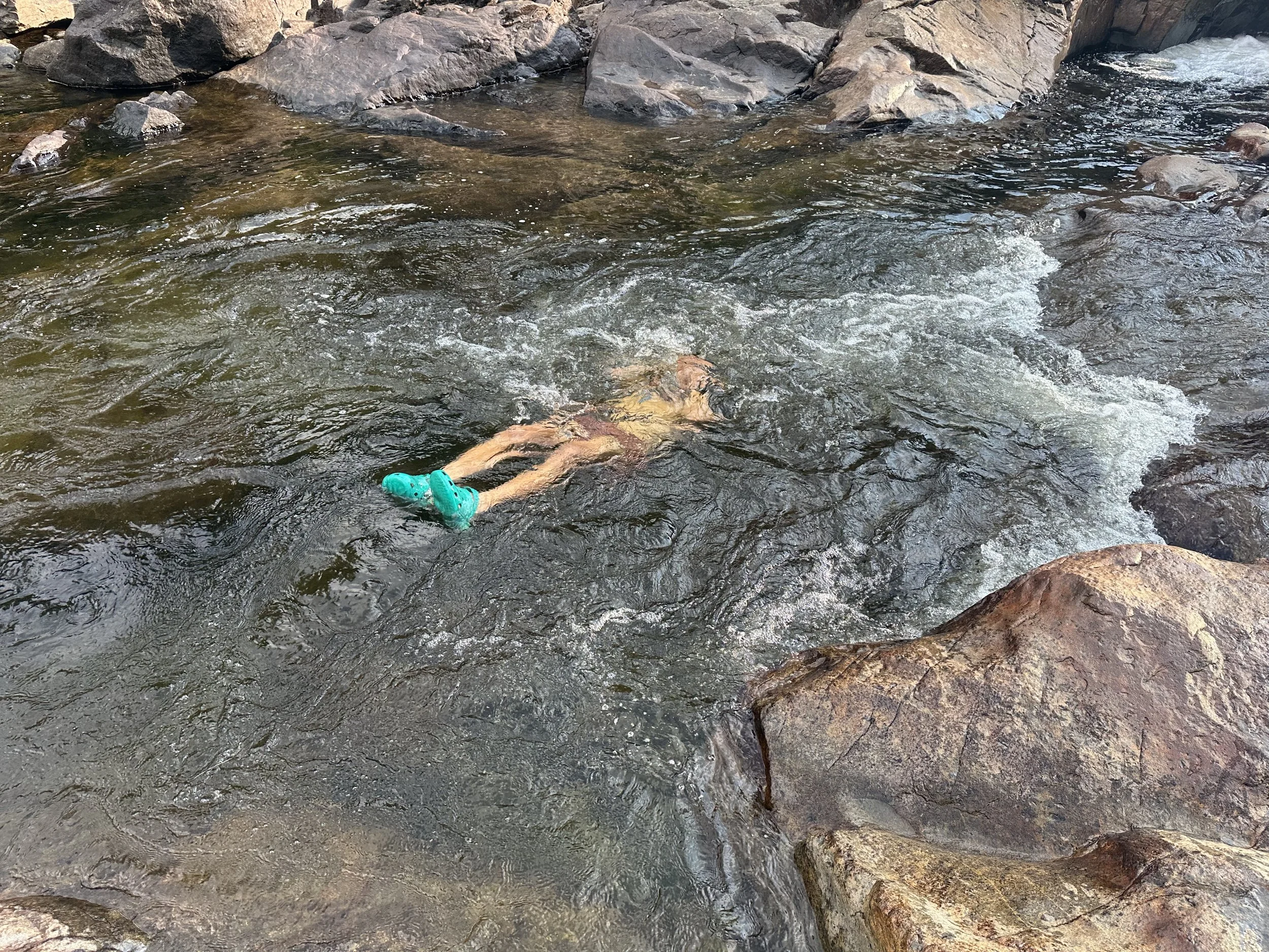
The crew dips their tires in the Atlantic


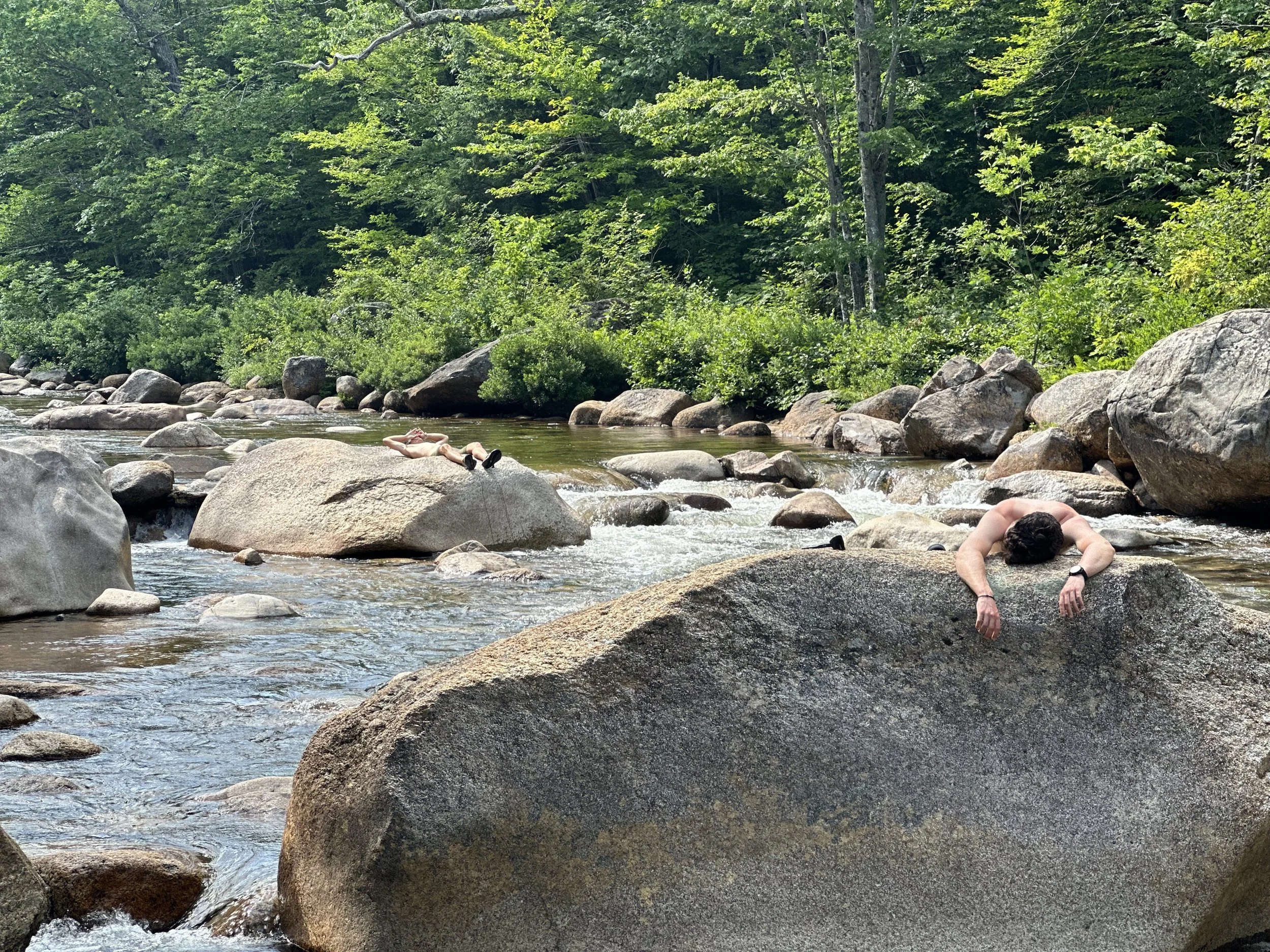
The crew enjoys the cold water of Newport Cove
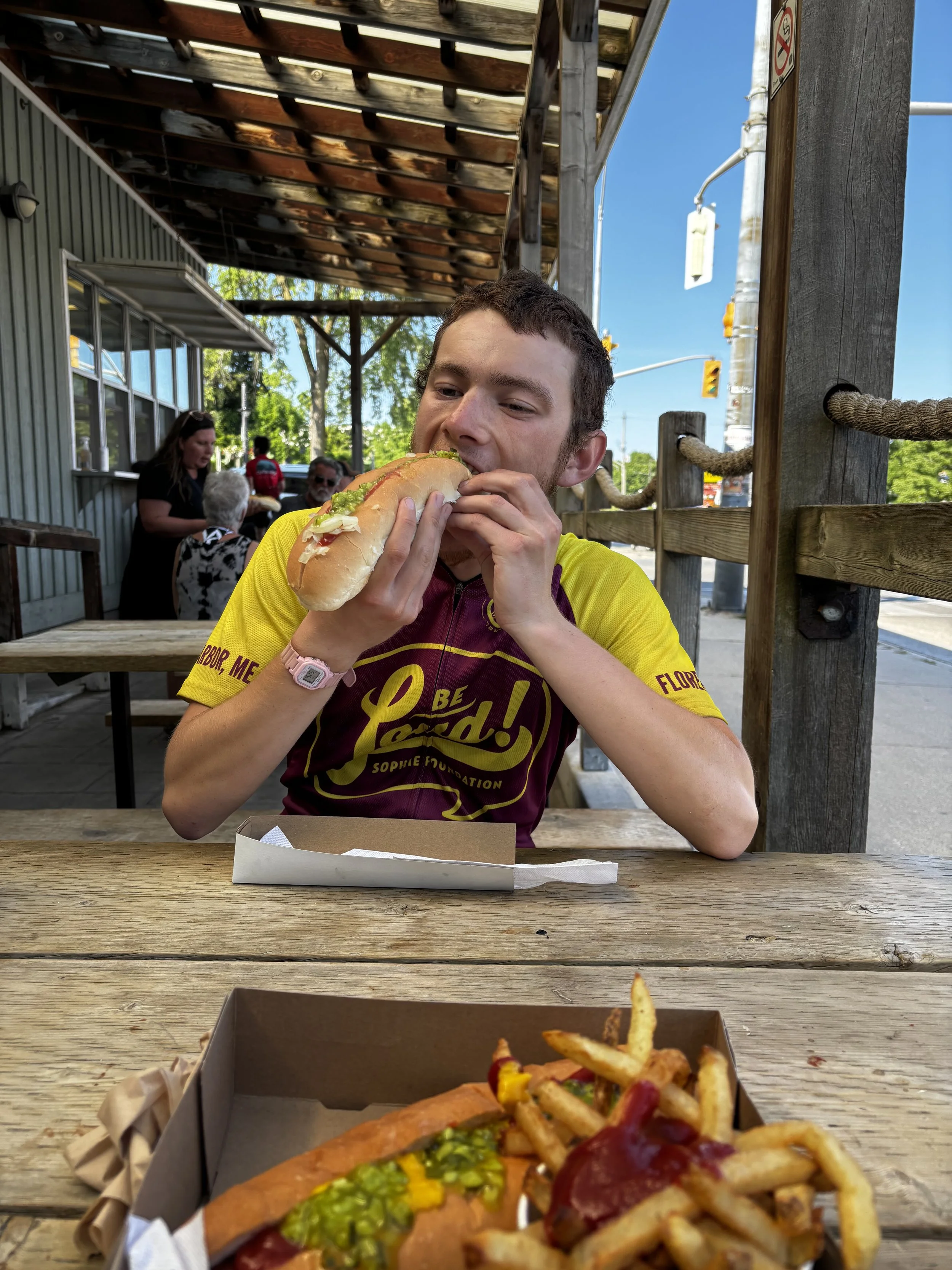
The rest of the day was a blur of bike racks and lobster rolls. At this point, our brains have been rewired to the routine of riding, and so doing things like driving, wearing clean clothes, and staying with our separate families will take a lot of getting used to.

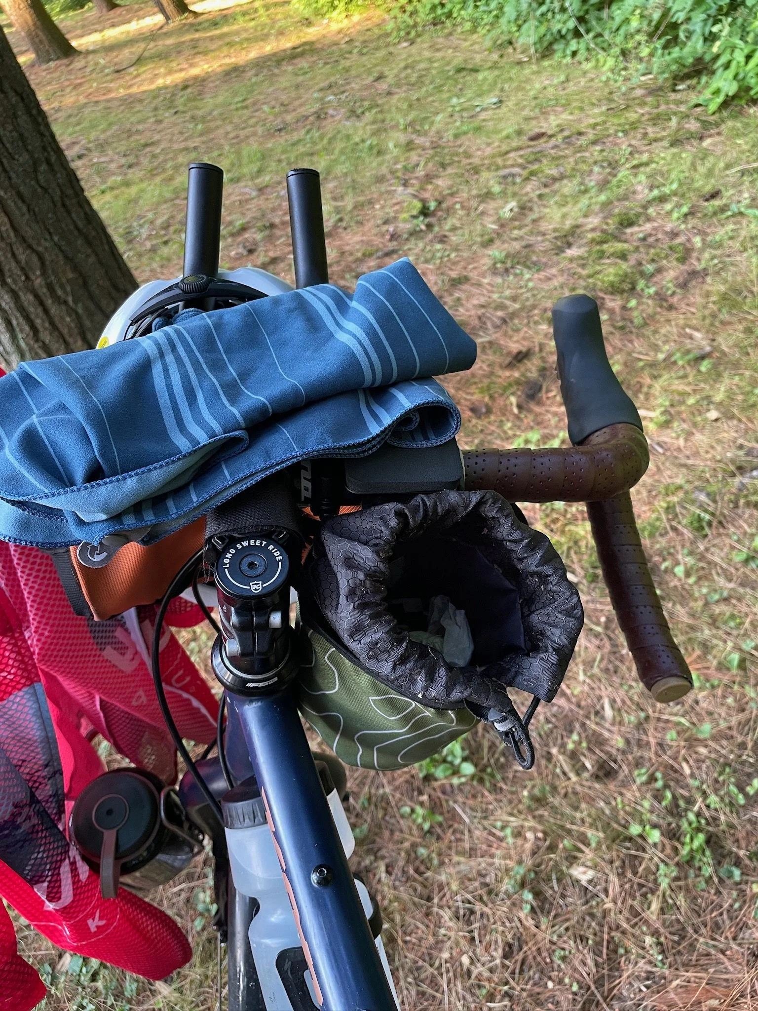
The four trusty steeds, packed and racked and ready to return to NC

Michael and Dad consider their options at Thurston’s Lobster Pound
It will also take a long time to process the trip. I can at least share some notable memories and lessons that I recorded over the last ten weeks. Some of these are cliche or obvious, or things that I’d heard before, but feeling them was different than hearing them. All of them were written for myself, but maybe some could be interesting or useful to others.
Day 0: After 20 stressful hours of travel, leave your rain fly off and sleep through a storm. Wake up soaked and learn that you make mistakes when you’re tired.
Day 5: Meet Dana, who has several 40s-year-old friends with terminal cancer diagnoses. Hear that life is too precious not to do things you enjoy with people you love.
Day 6: Do small things to stay warm with no immediate payoff and trust that they’ll eventually help. Drops are what fill the bucket.
Day 8: A group of 100 strangers at an Americana music festival pray for you to have a safe journey. Regardless of who or what you believe is on the receiving end of this prayer, be touched by the well wishes.
Day 20: Spend a day in the home of people whose election ballots certainly look different than yours, and find nothing but warmth, generosity, and a surprising amount of common ground.
Day 24: A bird poops on your handlebars. Recognize that we share this planet with others and remember not to park your bike beneath a lilac bush.
Day 32: Wake up to a headwind that—you think—will make it impossible to ride 50 miles east in one day.
Day 36: Make it not just one day and 50 miles, but five days and 350 miles through this wind. Consider what else you thought was impossible.
Day 60: [redacted]. As a group, commit to never again exceeding the recommended one teaspoon of grounds in your morning Folgers instant coffee.
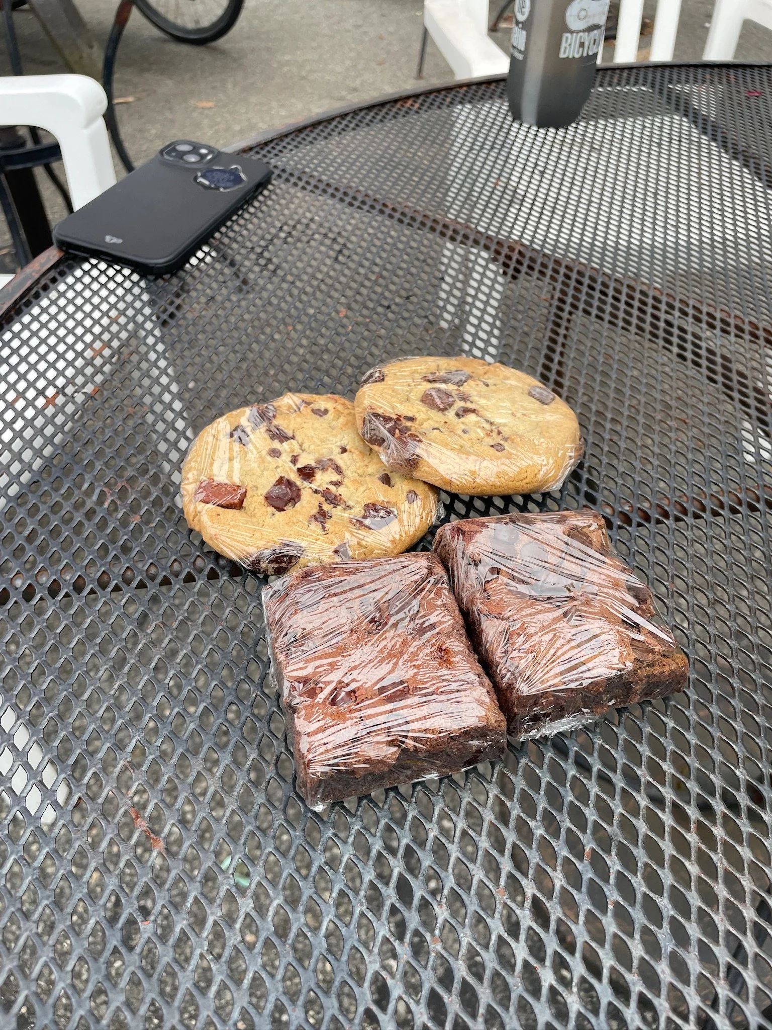
Day 68: Receive 4,000+ calories of free homemade baked goods from strangers over the course of the day; another reminder that most people out there are overwhelmingly good.
Day 70: See friends and family who made the journey up to Bar Harbor, and hear from others back home. Feel loved.
There are too many people to list that made this adventure a success, but I’ll try. Forgive me if I forgot you.
First, everyone that gave us a place to sleep this summer: Ivan, Chalet and Dana, Brian, Mike and Billie, John and Brenda, Arielle and Chris, Eric, Josh, Steve and Mary, G-Mom and G-Dad and Aunt Linda, Marko and Julia, Dawn and Roger, other Eric, Aryn, Mom, and Dad.
Second, others that helped us out along the way with everything from airport rides to water park tickets: Varun, Hansen, Steele, Chad O, Mary-Ellen, Delia, Mike S and Mike F.
Third, the Chapel Hill-Carrboro biking community, who offered words of encouragement, side quests, and connections along the route: Andy, Marc, Greg, Steve, David, Jeff, and many others.
Fourth, the friends and family back home, who we could always call on a tough day. Excited to see y’all soon!
Fifth, the Steiner family and other wonderful people with the Be Loud! Sophie Foundation. What you’ve created and grown is something very special, and it’s a privilege and a joy to be a part of it.
And finally Michael, Friend, and Usher. I can’t think of a better group to spend 70 days with. Thanks for making each one a day to remember.